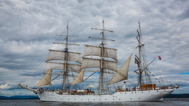
What Is Coastal Phase Navigation?
Introduction
Coastal phase navigation is an essential skill for any sailor to ensure safe passage in close proximity to a coast or islands, as well as navigating through shallow waters and around hazards like reefs and shoals.
This article will provide an overview of coastal phase navigation, including traditional navigation tools, navigational aids, electronic navigation systems, tidal currents, weather considerations and challenges for the sailing vessel skipper or navigator.
It will also discuss the benefits of coastal phase navigation for those who are new to sailing or those with more experience in this field.
Definition of Coastal Phase Navigation
Coastal navigation is that phase in which a ship is within 50 nm from shore or the limit of the continental shelf (200 meters in depth), whichever is greater, where a safe path of water at least one nm wide, if a one-way path, or two nm wide, if a two-way path, is available.
It requires careful planning and navigation to ensure that the vessel follows a safe course while avoiding hazards such as shallow waters, rocks or other vessels in the area.
It is essential to have knowledge of the local navigational rules and regulations as well as an understanding of tidal patterns to correctly identify areas that may be hazardous during certain times of day or night due to changing water depths or currents.
Traditional Navigation Versus Coastal Phase Navigation
Traditional navigation techniques such as dead reckoning and celestial navigation are still used by modern sailors for coastal phase navigation but with more emphasis on electronic chart plotting methods supplemented with some traditional methods, primarily due to the precision offered by modern electronics and navigational aides such as GPS systems and radar systems.
This combination provides navigators with more detailed information about coastal features than ever before making it easier to plan and execute safer passages when navigating close to shorelines or other hazards like shoals or reefs that might not be visible on traditional nautical charts alone.
Types of Coastal Navigation
The two main types of coastal navigation are inshore sailing (close quarters maneuvering) and offshore sailing (longer passages).
The first requires excellent boat handling skills while the second requires careful planning in order to identify potential hazards along the intended route as well as accurate chart plotting skills for plotting courses on paper charts with reference to GPS position fixes provided by external sources such as lighthouses or buoys equipped with radar beacons.
Chart Plotting & Course Planning
Chart plotting involves interpreting nautical charts in order to plot courses along safe passages that avoid shallow waters, obstructions such as rocks or sand bars, reefs and other vessels nearby operating in their own traffic lanes which may require additional caution due to their large size and maneuverability limitations compared with smaller vessels like sailing yachts operating in close proximity close quarters maneuvering scenarios.
Course planning involves considering factors such as wind direction/strength/tidal flow/currents/weather patterns/time constraints etc., so that courses can be adjusted accordingly before setting sail on longer passages offshore sailing scenarios where these factors can have significant impact on making progress towards your destination within reasonable timeframes given your resources available onboard (fuel/crew/equipment etc.)
Navigational Aids
Navigational aids like lighthouses equipped with radar beacons can provide valuable information about areas where visibility may be limited due to foggy conditions or darkness providing reliable position fixes when combined with an accurate paper chart plotter used for plotting courses on paper charts prior to setting sail from port, even if not used as primary sources for navigating through congested areas due to their limited range when compared with GPS systems which are now considered industry standard for most vessels operating near shorelines unless restricted by law from using them in certain areas, although most experienced mariners still prefer using paper charts supplemented by traditional navigational techniques whenever possible for greater control over their vessel’s movements when operating close quarters maneuvers near shorelines due their superior accuracy when compared with electronic navigational aids like GPS units which rely heavily on satellites located far above Earth’s surface which can suffer from signal outages due various factors outside your control while at sea, even though they also offer important safety features like collision avoidance alarms when installed onboard larger vessels operating near shorelines under international regulations set forth by various maritime organizations worldwide like International Maritime Organization (IMO) based out London England which focus on enhancing safety standards at sea, but should never solely relied upon without proper training due risk associated with relying solely upon any single source information while navigating close proximity near shorelines since changing conditions can often occur suddenly without warning requiring sailors approach this type situation cautiously while maintaining constant vigilance at all times while underway near shorelines regardless whether utilizing traditional methods supplemented electronic navigational aides mentioned previously above, since combination usually provides best results overall under most circumstances encountered today’s modern world maritime environment regardless how experienced you may consider yourself being an experienced sailor today’s age technology heavily influencing our lives both ashore ashore sea alike nowadays more than ever before anytime history mankind has ever seen before now, which why importance cannot overstated enough knowing proper techniques prevent potentially serious incidents occurring taking place during operations seaside nature leading harm crew passengers aboard vessel potential damage property itself otherwise avoided taking necessary precautions before setting sail voyage anywhere else world today tomorrow anyway until further notice all those concerned herewith respect said matters regard same meanwhile, continuing further below…
Electronic Navigation Systems
Modern electronic navigation systems are now considered industry standard for most vessels operating near shorelines providing reliable position fixes combined with highly accurate paper chart plotting capabilities while supplementing traditional navigational techniques providing sailors greater control over their vessel’s movements when operating close quarters maneuvers near shorelines due their superior accuracy when compared other sources information available today’s digital age making these systems must have any seafaring expedition planned within reasonable timeframes given resources available onboard vessel itself coupled fuel efficiency provided same type equipment mentioned earlier within article above combination working together produce highest results overall under most circumstances encountered operational environment world maritime today tomorrow until further notice all those concerned herewith respect said matters regard same meanwhile continuing further below…
Tides Currents & Weather Considerations
Tides currents weather conditions all must taken account properly order maintain safe passage through risky waters shallows nearby any given situation also important factor consider especially during longer passages offshore sailing scenarios since can greatly affect speed vessel making either slower faster than anticipated depending upon influence said factors have particular area time day night therefore necessary always plan ahead taking these matters into consideration beforehand minimize risk becoming stranded middle sea somewhere else unforeseen way possibly causing serious harm crew passengers aboard same time potentially damaging property itself otherwise avoided taking necessary precautions before setting sail voyage anywhere else world today tomorrow anyway until further notice all those concerned herewith respect said matters regard same meanwhile continuing further below…
Challenges Of Coastal Phase Navigation
One challenge associated with coastal phase navigation is identifying potential hazards along intended routes ahead time allowing sailor prepare necessary preventive measures avoiding potentially disastrous situations arising from unexpected surprises lurking just beneath surface water such hidden rocks shoals sandbars coral heads etc.,
all need taken account prior departure port another factor consider would correct identification local navigational rules regulations applicable particular area another would correctly reading interpreting nautical charts correctly properly order plan safest possible routes avoiding any potential danger might come way meantime elsewhere, although many experienced mariners prefer supplementing these methods others mentioned earlier within article above supplementing these methods traditional ones providing them greater control over movements especially areas congested shipping traffic nearby since they offer better accuracy precision results compared alternative sources information available today’s modern world maritime environment…
Benefits Of Coastal Phase Navigation
The benefits associated with coastal phase navigation go beyond just ensuring safe passage through congested areas among other vessels nearby but also include improving overall knowledge base seafaring skills related field since requires understanding fundamentals related subject matter such tides currents weather patterns local navigational rules regulations reading interpreting nautical charts correctly properly order plan safest possible routes avoiding any potential danger might come way meantime elsewhere improving overall confidence level operator controlling vessel itself allowing them enjoy journey much more whenever happens involved therein however despite its many advantages there still some risks involved should never taken lightly everyone involved process should remain vigilant aware surroundings all times order ensure everyone involved remains safe sound throughout duration voyage whatever may bring…
Conclusion
In conclusion it’s important for every sailor understand coastal phase navigation ensure safe passage through congested areas among other vessels nearby improve knowledge base seafaring skills related field improve overall confidence level operator controlling vessel itself allowing them enjoy journey much more whenever happens involved therein however despite its many advantages there still some risks involved should never taken lightly everyone involved process should remain vigilant aware surroundings all times order ensure everyone involved remains safe sound throughout duration voyage whatever may bring until then wishing everyone fair winds following seas wherever go thanks taking time read this article hope found useful somehow someway until next time fare thee well now goodbye then adieu forevermore!



![sailing-seaman-basictraining-maritime-navigation-weather-safety-shipboardoperations What is basic training for seaman?[Editing Required]](https://challengedamerica.org/wp-content/uploads/2023/02/sailing-seaman-basictraining-maritime-navigation-weather-safety-shipboardoperations-768x432.jpg)
